Introduction to Coastal and Marine GIS
In Southampton or online
This course is no longer running. If you are an individual looking for GIS training, a number of courses are still offered by GeoData. If you are looking for bespoke coastal and marine GIS training for your organisation, please get in touch.
Delivering sustainable development in the marine environment requires a balance between resource use and protection of our seas. Spatial data is increasingly important in such decision-making, to inform marine planning, conflict management and environmental management.
On this page
Course overview
Delivered by ABPmer’s GIS consultants—specialists in the coastal and marine sector—and GeoData’s experienced GIS trainers, this course uses case studies and hands-on activities to provide you with the background and skills necessary to utilise powerful GIS tools to support sustainable development decisions.
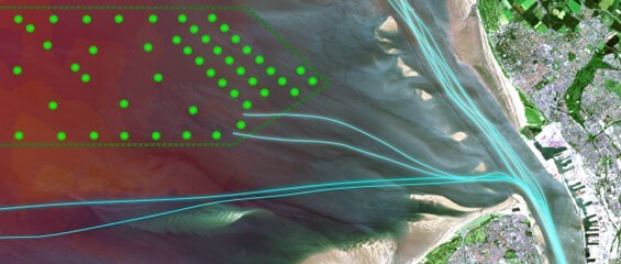
Using the open-source QGIS v3.x, the course is structured around modules that cover various GIS concepts and techniques. As well as introducing marine data and GIS, the course considers common problems faced when mapping coastal and offshore environments. There is also an opportunity to discuss specific spatial data issues with our specialists.
Classroom exercises, based on projects drawn from ABPmer’s portfolio, illustrate how spatial data has been used within GIS to support coastal and marine decision making. The course also considers common problems faced when mapping the coastal and offshore zones (including projections, vertical datums, etc).
Who should attend?
Anyone looking to understand marine data and its application within a GIS environment is welcome to attend the course, whether you have little to no GIS knowledge, are largely self-taught in QGIS and wish to undertake formalized training.
Learning outcomes
At the end of the course delegates will know and understand:
What GIS is; what spatial data is; raster and vector data models
The core tasks involved in GIS analysis, including acquisition, storage, management, manipulation and presentation
The core functionality of QGIS
How to import data and handle tables, including selections and queries
Georeferencing raster images
The creation and editing of spatial data
How to visualise spatial data and produce maps and charts
How to manage spatial data and use Geopackages
Basic geoprocessing tasks
Coastal and marine GIS data and its applications
Course dates
This course is no longer running.
If you are an individual looking for GIS training, a number of courses are still offered by GeoData.
If you are looking for bespoke coastal and marine GIS training for your organisation, please get in touch.
Your details will only be used to contact you about coastal and marine GIS training. They will not be passed on to any third party or used in any other way without your express permission.