
Data handling support for the Marine Data Exchange
Preparing, validating and uploading survey data and reports to support quality assurance of TCE's data holdings
Learn more

The ever-increasing availability of spatial data can help us better understand and manage resources, operations and the environment. However, the ‘big data revolution’ brings a whole raft of data management, analysis and interpretation challenges.
To make the most of the data available, a sound understanding of data architecture, audit, management, standardisation, manipulation and presentation is required.
Using industry-leading geospatial software (ArcGIS, AutoCAD Map3D, ESRI, Global Mapper), our experienced data architects deliver Geographic Information System (GIS), data management and charting services including:
Data sourcing
Quality assurance
Standard-compliant metadata
Bespoke GIS-tools
Spatial analysis
Map production
We have extensive experience of online data dissemination; developing interactive webGIS applications, 3D visualisations and engaging Storymaps to share projects with stakeholder groups.
We work with all forms of spatial data, including Automatic Identification System (AIS), hydrographic, topographic, LiDAR, metocean, commercial fisheries, habitat, recreational and cultural data and are known for developing innovative GIS models to decode and display data in meaningful ways for assessment and decision-making purposes.
Our specialist skills have been used to support a wide range of environmental, socio-economic and navigational risk assessment.
We deliver tailored data integration, database development and GIS management services for clients, with the capability to architect, implement and provide ongoing support to desktop and online geospatial platforms. Applications range from real-time data solutions and analytical reporting interfaces to complex stakeholder applications such as the ABP property and compliance solution built on new GIS IT infrastructure.
LiDAR & point cloud processing
Curation of new data products
Digital terrain modelling
Collation, management and standardisation
Quality assurance and standard-compliant metadata creation
Constraints and risk mapping
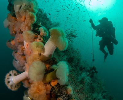
Habitat and feature mapping
Multi-criteria evaluation
Shadow flicker analysis
Site selection and characterisation
Volumetric calculations
3D conceptual visualisations
Fly through animations
Figure production
Bathymetry charting and ENC production
Pipeline and cable route charting
Web mapping
Participatory GIS
End-to-end geospatial solutions
Database and reporting applications
Data integration processes
Desktop GIS model and tool production
WebGIS applications
Ready to speak to one of our specialists about your data and GIS requirements? Get in touch.


Preparing, validating and uploading survey data and reports to support quality assurance of TCE's data holdings
Learn more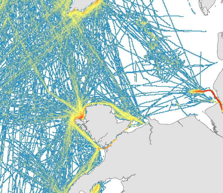
Helping RYA update and maintain standards for representing recreational boating activity in UK waters
Learn more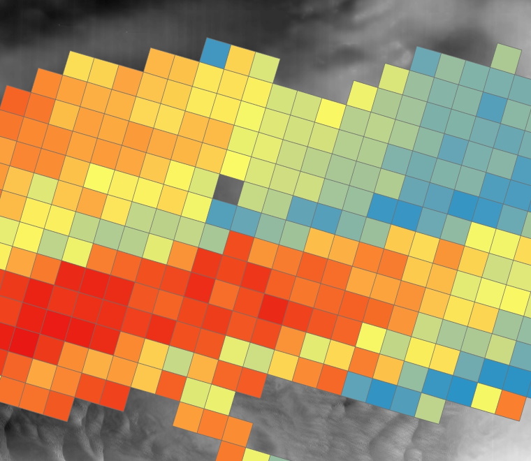
Mapping the potential for seabed change within offshore wind farm lease areas
Learn more